HIKING IN PIMONTE
Discover the paths of the Lattari mounts that link beaches and typical villages of the Sorrento and the Amalfi coast.

ZAPPINO PATH – CAI 332C
- Length: 5.5 Km
- Rise: 310 mt
- Descent: 150 mt
- Average duration: 1.50 h
Enjoy a long hiking walk and reach some of the most important folkloric, natural, landscape, and religious places. The Lavatoio valley, Church of Pino, the oak and chestnut trees wood.
- Starting point: Pimonte
- Arrival: Pimonte (Chiesa di Pino)

SENTIERO VALLE LAVATOIO - CAI 332B
- Length: 1.4 Km
- Rise: 110 mt
- Descent: 30 mt
- Average duration: 0.40 h
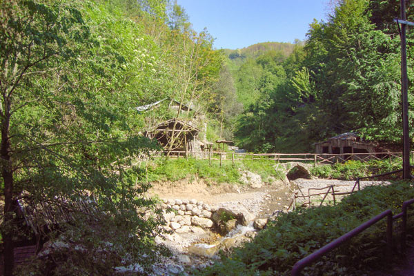
The hiking walk lets you reach the most amazing natural, artistic, and industrial archaeological places: the Lavatoio valley, the Gragnano Castle district, the Valle dei Mulini.
- Starting point: Pimonte (Valle Lavatoio)
- Arrival: Pimonte (Cappella San Giacomo)

SENTIERO TESE DI PIMONTE - CAI 334
- Length: 7.1 Km
- Rise: 1000 mt
- Descent: 50 mt
- Average duration: 4 h
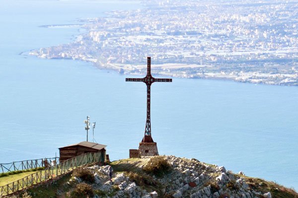
It is an average difficult hiking walk towards a series of some of the most important natural, landscape, and religious places: the Monte Faito Gateway and Sanctuary of S. Michele Archangel.
- Starting point: Castellammare di stabia (Quisisana)
- Arrival: Pimonte (Porta di Faito)

GIRO DEL MONTE PENDOLO (MONTE CROCE)
- Length: 2.5 Km
- Rise: 150 mt
- Descent: 150 mt
- Average duration: 2.5 h
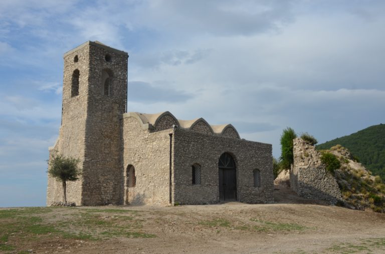
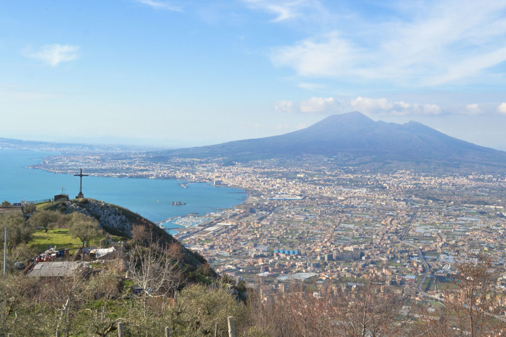
The walk allows you to enjoy the Gulf of Naples’ landscape. At the same time, you can discover the Pimonte castle’s ruins through a belvedere placed in the inner part of the mount, already the monitoring center of the Republic of Amalfi’s defensive system.
- Starting point: Pimonte (Info-point)
- Arrival: Pimonte (Info-point)
Maggiori info su: